

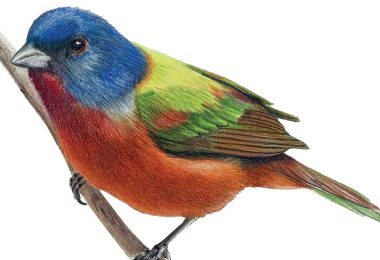

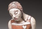
Mica Gallery welcomes Deb Karash as one of its newest artists. Karash, a jewelry artist, moved to the area from Illinois where she studied at Northern Illinois University, and has taught widely, including at Penland School of Craft.
Mica Gallery welcomes Deb Karash as one of its newest artists. Karash, a jewelry artist, moved to the area from Illinois where she studied at Northern Illinois University, and has taught widely, including at Penland School of Craft.
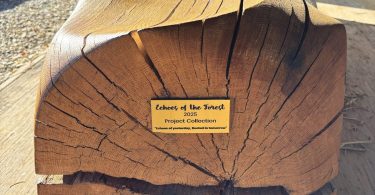
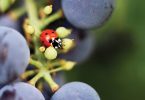
Hurricane Helene was responsible for unprecedented forest loss across our region. These forests are a vital part of Western North Carolina’s economy, ecology and identity. A new non-profit organization, Echoes of the Forest, seeks to transform this loss into something positive through public art installations.
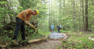
The Pisgah Conservancy (TPC) has been awarded a 4.5–year, nearly $8 million grant from the National Forest Foundation on behalf of the Forest Service to support the Hurricane Helene recovery process.
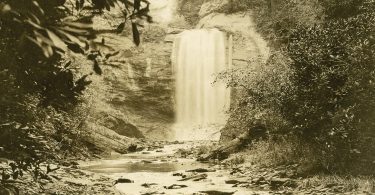
A century ago, the mountains of Western North Carolina were still being introduced to the wider world. George Masa was one of the people who helped make that introduction.
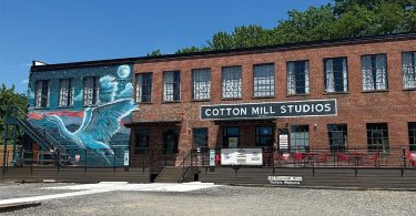
ArtPlay is returning to the River Arts District with a new location in the Cotton Mill Studios. Founded in 2021, ArtPlay first established itself in the RAD before relocating to Orange Street following Hurricane Helene.

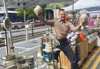
Heart of Brevard will host a two-day celebration marking the nation’s 250th anniversary on Independence Day Weekend. Festivities begin Friday, July 3, at 5 p.m. along East Main Street with an evening street festival featuring live music, food trucks, local vendors and a beer garden.
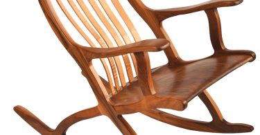
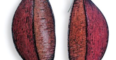
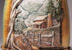
The Lucy Clark Gallery & Studio welcomes to its fold artist Robert Bragg, who brings more than 40 years of experience in creative fine woodworking. “I have been in love with woodworking since my grandfather allowed me to play in his workshop as a child,” says gallery owner Lucy Clark.

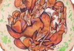
Graceful, playful and always curious, the American river otter is a crowd pleaser at zoos and nature centers. But this semi-aquatic species also represents one of our region’s most successful conservation comeback stories.


 The Laurel of Asheville is available in both print and digital editions
We are delighted you have chosen us to be your gateway—both through our popular print Asheville lifestyle magazine and our website—to the arts, culture, and communities that comprise the remarkable area that is Western North Carolina. In these pages, you will find behind-the-scenes stories about the region’s concerts, theatre and dance productions, festivals, restaurants, artists, and the multitude of locally-based businesses. We also enjoy bringing you features about the people and organizations who are caring for those in need, protecting our historic heritage, preserving our rich and diverse environment, and nurturing our cultural soul.